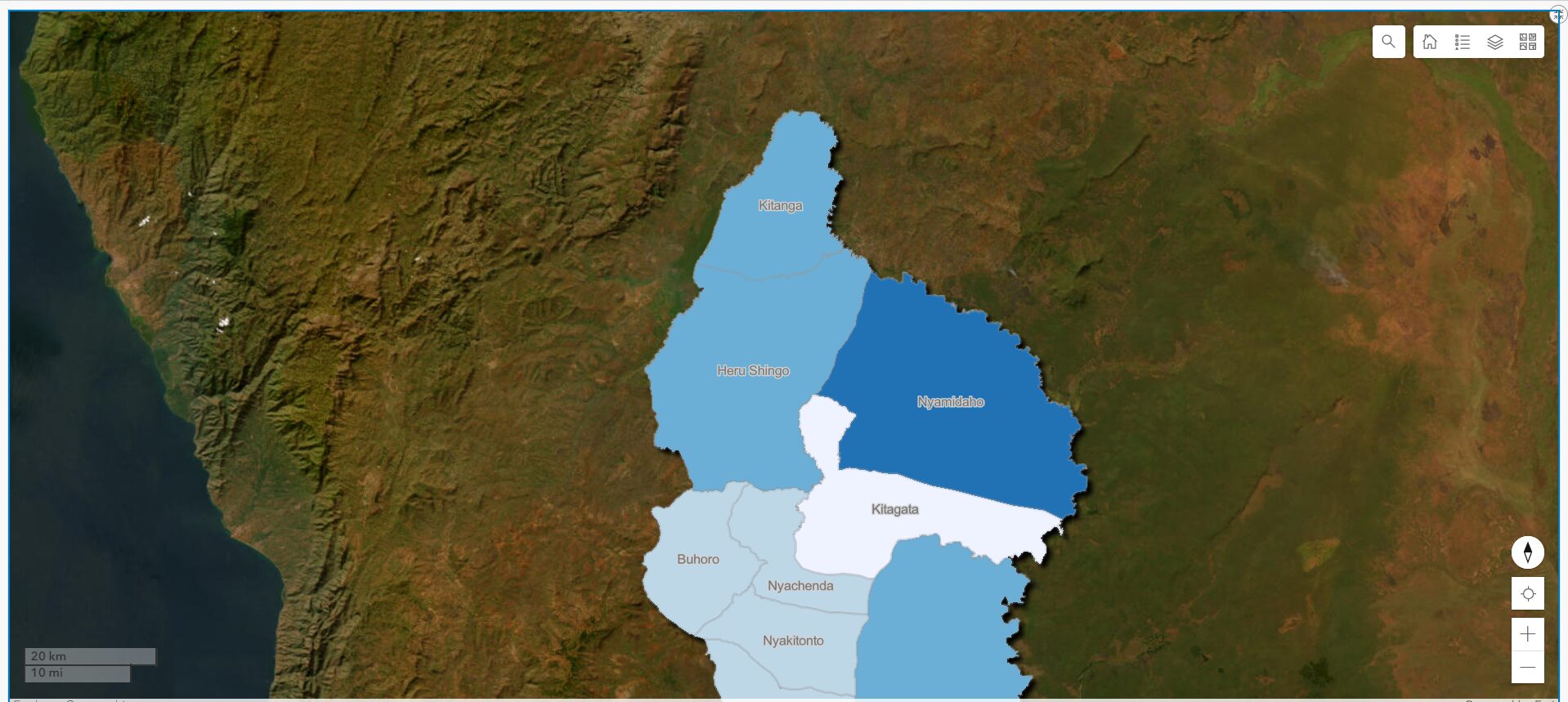
Our geospatial analysis in the Nyarugusu Camp and surrounding areas benefited over 132,000 people directly and 245,000 indirectly. Using remote sensing and drone mapping, we identified key areas for land conservation, food security, and sustainable land use. In 2024, we expanded our efforts to map climate mobility data in Tanzania, focusing on districts most affected by land degradation. We consulted 200 community members, created detailed geospatial maps, and identified 43.42% of degraded land for restoration. Our interventions, including reforestation and soil erosion control, have led to an 11.38% increase in land productivity in targeted areas. Climate adaptation plans were developed for these regions, ensuring that local communities are equipped to manage environmental changes. Community engagement remains central, with over 200 individuals involved in sustainable land management and adaptation strategies