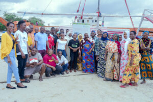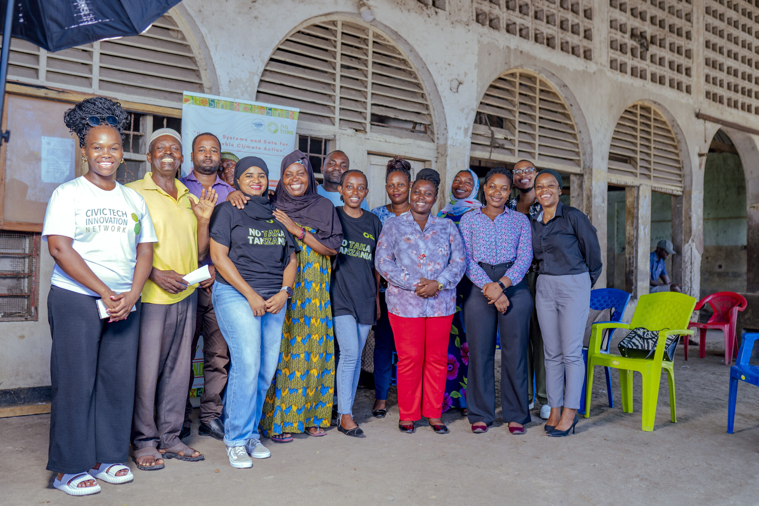
This project harnesses geospatial tools to empower civic engagement in regions affected by climate change. By actively involving local communities, especially women fishers, we map land cover features and gather vital information that supports sustainable agriculture, aquaculture, and evidence-based land management policies.
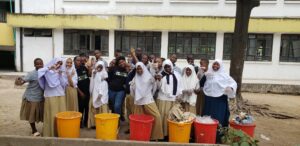
Through participatory data collection and analysis, the project strengthens adaptive capacities and raises awareness of the socio-economic connections that influence community livelihoods. Civic engagement is at the heart of our approach—community members contribute to data gathering, interpretation, and the planning of social development activities.
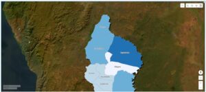
Our tools also enable the analysis of complex demographic and land cover datasets, providing insights into movement patterns, demographic trends, and future migration predictions. This inclusive process ensures that local voices shape solutions, fostering ownership and resilience in the face of climate mobility challenges.